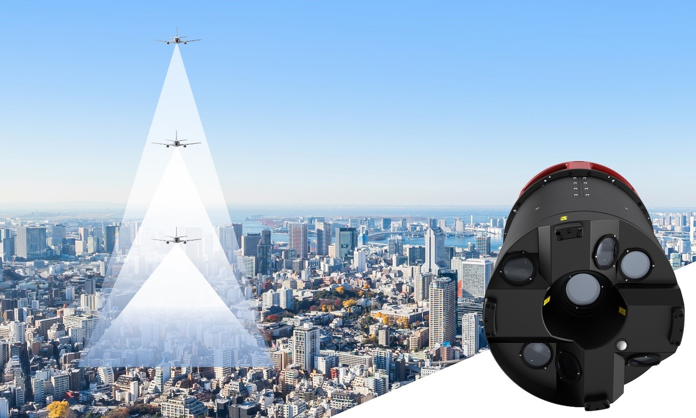
With a new focal length combination for ultra-high resolution projects or operations when low flying altitude is required, the Leica CityMapper-2 now offers a full product portfolio covering all flying parameters and GSD’s
(HEERBRUGG, SWITZERLAND, 10 March 2021) – Leica Geosystems, part of Hexagon, introduces the new Leica CityMapper-2L configuration specifically designed for airborne urban mapping projects at low altitude operation. Lower flying heights can be required by air traffic control (ATC) restrictions and in areas with low cloud cover.

With a new focal length combination, the Leica CityMapper-2 now offers a full product portfolio covering all flying parameters and GSD’s.
The CityMapper-2L features a 71 mm focal length at nadir, ideal for 5 cm GSD data acquisition at flying heights of 940 m AGL. The new lenses offer similar coverage and productivity for a specific GSD as the existing configurations for standard and high flying heights, while significantly expanding the operation envelope.
“This third lense option complements the existing two configurations. The Leica CityMapper-2 now offers three different focal lengths to support all customer and project needs – from low to high altitude flights – while capturing data from 2 - 10 cm GSD”, says Ron Roth, product manager at Hexagon’s Geosystems division. “We are pleased to offer our customers full flexibility to accomplish their projects while meeting the requirements of various local flight regulations and weather conditions.”
Complete flexibility for all flying parameters
The CityMapper-2 is the world’s only hybrid airborne sensor combining oblique imaging and a LiDAR in one system. The sensor efficiently creates digital twins of cities at the highest productivity levels and provides unprecedented image quality. The system includes two 150 MP nadir cameras (RGB and NIR), four 150 MP oblique cameras and a 2 MHz linear-mode LiDAR sensor.
“With three focal lengths at 71 mm, 112 mm and 146 mm, the CityMapper-2 system can now operate at the highest performance for all flying parameters, from as low as 940 to as high as 1940 m AGL for 5 cm GSD”, Roth adds. “As such, the CityMapper-2 meets the diverse and growing market demands for the creation of 3D digital city models.”
All sensor configurations are supported by Leica HxMap, the unified multi-sensor high-performance processing workflow available for all Leica Geosystems airborne sensors. The software suite processes imaging and LiDAR data in the same user interface, reducing staff training requirements when processing data from different sensors. Processing CityMapper-2 data with HxMap offers the foundation to produce all airborne data products for smart decision making in rapidly changing urban environments.
To learn more about the Leica CityMapper-2, please visit: https://leica-geosystems.com/products/airborne-systems/leica-citymapper-2/
Leica Geosystems – when it has to be right
Revolutionising the world of measurement and survey for 200 years, Leica Geosystems, part of Hexagon, creates complete solutions for professionals across the planet. Known for premium products and innovative solution development, professionals in a diverse mix of industries, such as aerospace and defence, safety and security, construction, and manufacturing, trust Leica Geosystems for all their geospatial needs. With precise and accurate instruments, sophisticated software, and trusted services, Leica Geosystems delivers value every day to those shaping the future of our world.
Hexagon
Hexagon is a global leader in sensor, software and autonomous solutions. We are putting data to work to boost efficiency, productivity, and quality across industrial, manufacturing, infrastructure, safety, and mobility applications. Our technologies are shaping urban and production ecosystems to become increasingly connected and autonomous — ensuring a scalable, sustainable future.
Hexagon (Nasdaq Stockholm: HEXA B) has approximately 21,000 employees in 50 countries and net sales of approximately 3.8bn EUR. Learn more at hexagon.com and follow us @HexagonAB.
For further information, please contact:
Leica Geosystems AG
Viviana Fuso
Phone: +41 79 519 0428
media@leica-geosystems.com
www.leica-geosystems.com


